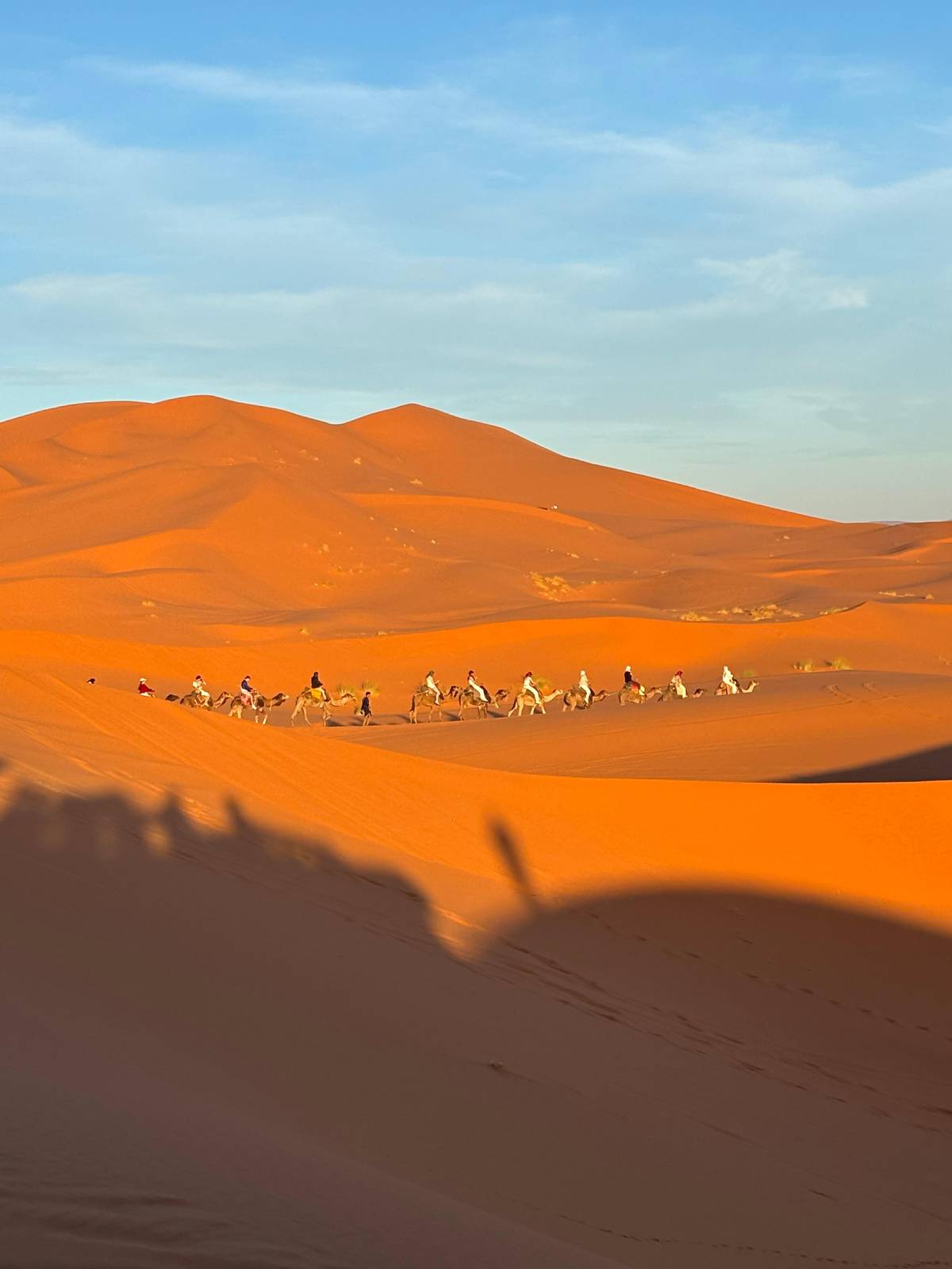
 Our pick
Merzouga round trip
The ksar on the way to the dunes
- Length
- 3 days
- Local guide
- Optional, extra
- Rating
- 4.87
Guides
Language
EnglishCurrency
US dollar · $GetYourGuide shows prices in the currency you choose.
Guide · Ait Ben Haddou
Kasbah Ait Ben Haddou is the big first-day stop of the desert tours from Marrakech that publish their stops: an earthen fortified village on a hillside above a river, and a World Heritage site.
Editorial team, marrakech-to-merzouga.comUpdated October 24, 20266 min read28 sources
What it is
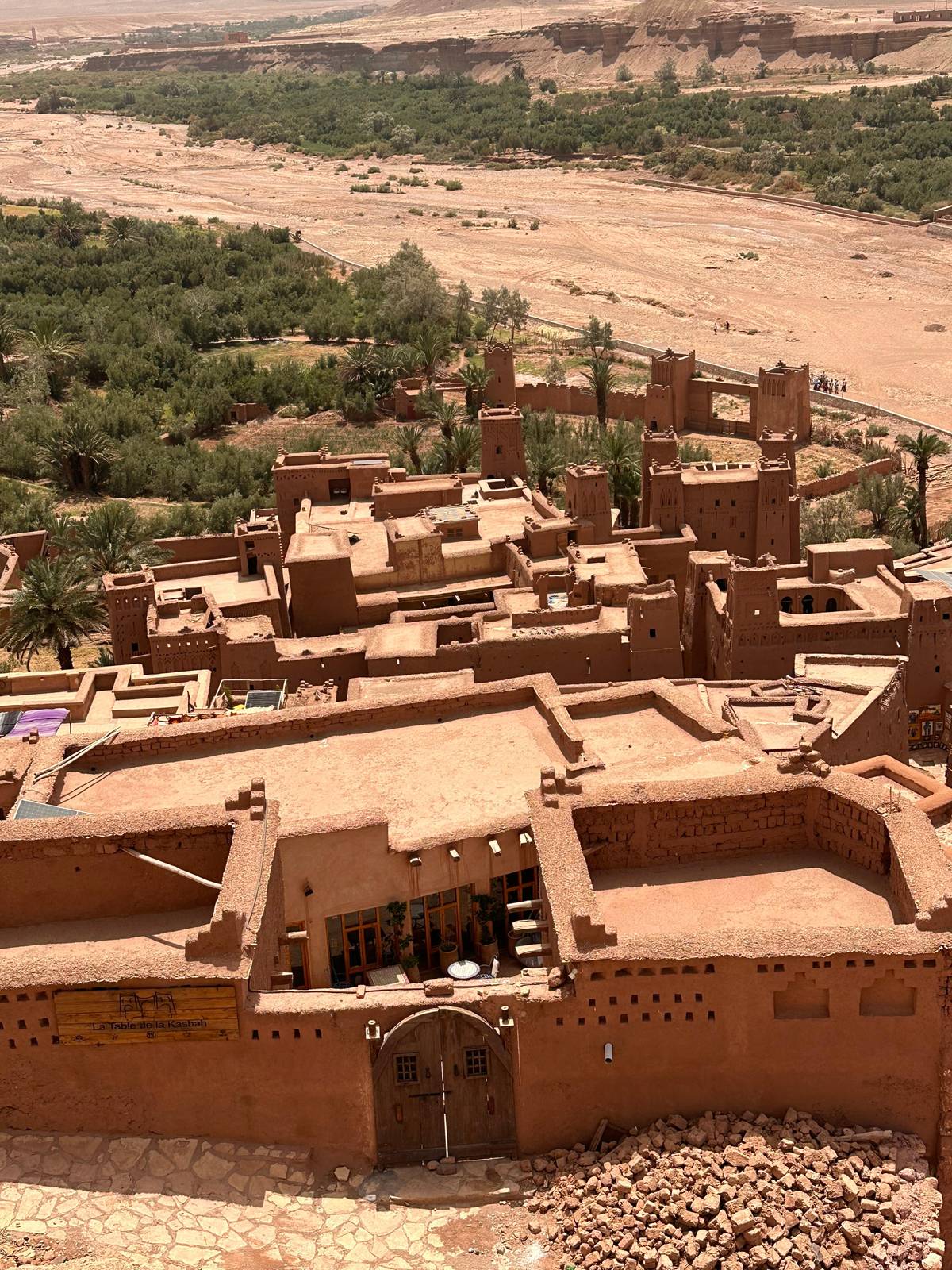
UNESCO's own one-line description is the best place to start: the ksar is a group of earthen buildings surrounded by high walls, a traditional pre-Saharan habitat.1 A ksar is a fortified village, not a single castle. Inside the defensive walls, which are reinforced by corner towers and pierced by a baffle gate, the houses crowd together, some modest, others like small urban castles with high towers.5
It stands in the foothills on the southern slopes of the High Atlas, in the province of Ouarzazate, and it is the best known ksar of the Ounila valley.2 Seen from the far bank of the river, the whole village climbs the hillside in shades of red and ochre, with a fortified granary at the top and the earthen towers stacked one above another below it.
The buildings are still made the old way: the materials remain earth and wood.6 Earth and wood give the ksar its colour and its soft, rounded edges, and they also leave it fragile.7 Every heavy rain and every season without repairs leaves a mark on walls that were never meant to last without care.
Through time
Long ago
The techniques spread early in the valleys of southern Morocco.4
Caravan era
A stop on the route from ancient Sudan to Marrakesh.8
17th century
The oldest standing constructions seem to date from then.4
1987
UNESCO inscribes the ksar under criteria (iv) and (v).3
Today
The earthen buildings are very vulnerable without upkeep.7
The ksar grew on a trade route. UNESCO describes it as one of the many trading posts on the commercial route that linked ancient Sudan to Marrakesh by the Dra valley and the Tizi-n'Telouet pass.8 Caravans crossing the Sahara brought goods north to the cities of Morocco, and fortified villages like this one gave shelter, storage and a market along the way.
The buildings are younger than they look. The oldest constructions do not appear to be earlier than the 17th century, although the way they are built goes back much further in the valleys of southern Morocco.4 UNESCO calls the ksar an eminent example of the earthen building types found from the 17th century in the valleys of the Dra, the Todgha, the Dades and the Souss.9
Inside the walls were the things a village needed: a mosque, a public square, threshing floors outside the ramparts, a fortified granary at the top, a caravanserai, two cemeteries, one Muslim and one Jewish, and the sanctuary of a local saint.10 Walk up through the lanes and you pass most of them on the way to the top.
Listed stop
Time at the ksar
| Tour | Type | Time at the ksar |
|---|---|---|
| Private-tent tour | 3-day desert tour | 2.5 hours |
| Luxury camp from Fes | 3-day desert tour | 1.5 hours plus lunch |
| Ouarzazate day trip | 11-hour day trip | 2 hours with lunch |
| Guided day trip | 12-hour day trip | 2.5 hours |
Stop times as each GetYourGuide listing publishes them; the tour this site recommends names the kasbah as a highlight but gives no time.
Three ways to see it
Our pickThe ksar on the way to the dunes
 Longest visit
 Most reviewed
Decision helper
Pick the option that fits the rest of your trip
The kasbah is a named highlight of the 3-day tour.
One day trip lists 12 hours with 2.5 hours at the ksar.
On our pick the local guide is an optional extra.
One day trip does not recommend its visit for limited mobility.
One Zagora tour runs via Ait Ben Haddou and back to Marrakech.
The ksar, a group of earthen buildings surrounded by high walls, is a traditional pre-Saharan habitat.
The Ksar of Ait-Ben-Haddou was inscribed on the World Heritage List in 1987, under criteria (iv) and (v).3 The listed property covers 3.03 ha, with a buffer zone of 16.32 ha around it to protect its setting.3
Its listing is about more than beauty, and UNESCO is blunt about the risk: the earthen buildings are very vulnerable because of a lack of maintenance and repair after the ksar was abandoned by its inhabitants.7
Visitors are part of that story. Treat the walls and stairs gently, stay on the paths, do not climb on fragile parapets and ask before you photograph the people who still work and sell in the lower village. A small purchase from a shop, or hiring a local guide, is a direct way to support the village.
Map
First the whole road with Fes and Zagora, then the two gorges at Boumalne and Tinghir, then the oasis towns and the sand sea of Erg Chebbi.
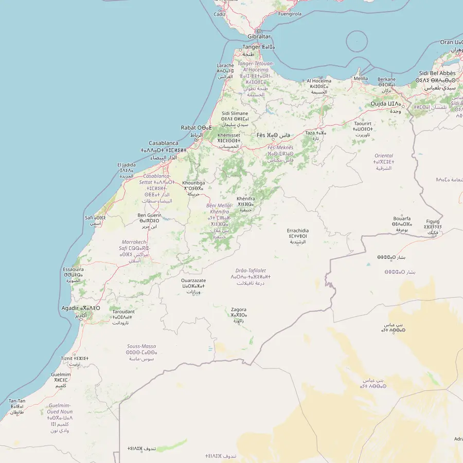 1Marrakech2Tizi n'Tichka3Ait Ben Haddou4Ouarzazate5Boumalne Dades6Tinghir7Errachidia8Merzouga9Zagora10Fes11Midelt
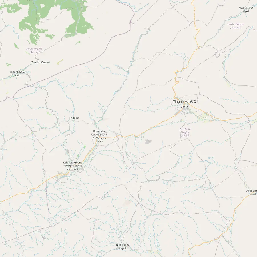 5Boumalne Dades6Tinghir12Kalaat M'Gouna13Dades Gorges14Todra Gorge
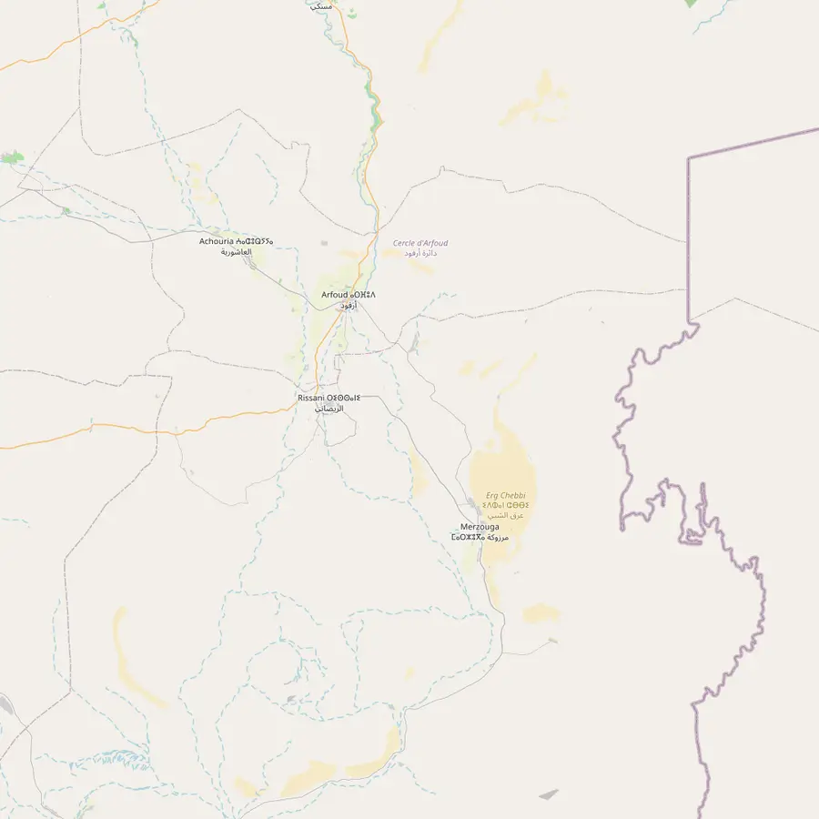 8Merzouga15Erfoud16Rissani17Erg Chebbi
Start and end of the round trip; its medina, founded in 1070-72, has been a World Heritage site since 1985.1112
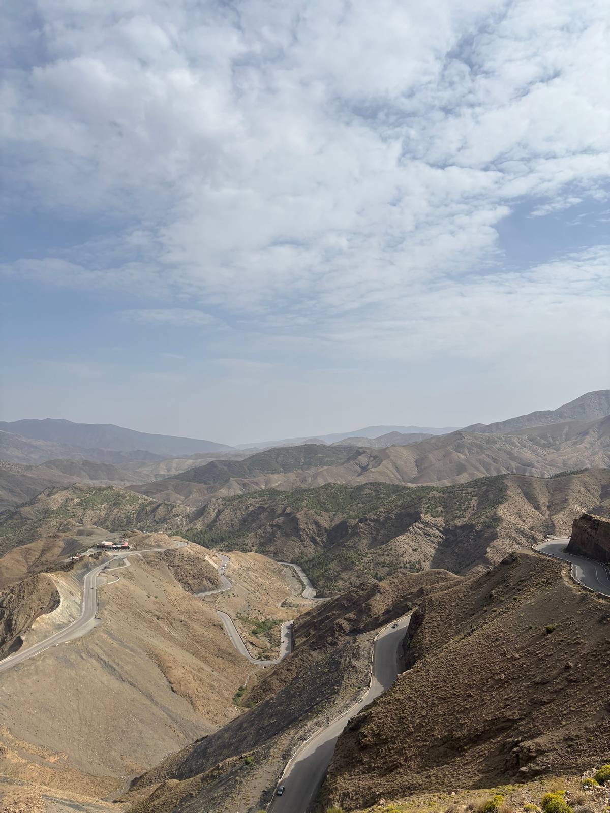
In Google Maps ↗The High Atlas pass on the road to Ouarzazate, 2,267 m high.1314
In Google Maps ↗An earthen ksar on the southern slopes of the High Atlas, a World Heritage site since 1987.23
In Google Maps ↗An oasis and road junction on the Saharan side of the High Atlas, near where its river joins the Draa.1514
In Google Maps ↗The private-tent tour from Marrakech stops here for its first night; the Dades runs 350 km south to the Draa.16
In Google Maps ↗The private-tent tour lists 40 minutes in Tinghir and 20 minutes at the Todra River.
In Google Maps ↗The WMO climate station behind this site's month-by-month figures, at 1,037 m.17
In Google Maps ↗The village beside the dunes, where a large aquifer feeds palm groves and fields.18
In Google Maps ↗An oasis on the Draa and the goal of the 2-day desert trips from Marrakech.19
In Google Maps ↗Where the one-way desert tours end; its medina has been a World Heritage site since 1981.20
In Google Maps ↗The lunch stop on the last day of two one-way tours to Fes.
In Google Maps ↗A 20-minute break on the private-tent tour; the food-included safari sleeps in this area on night one.
In Google Maps ↗The gorges of the Dades River, a popular tourist destination.21
In Google Maps ↗The Fes to Marrakech luxury-camp tour lists 1 hour at the Todra River.
In Google Maps ↗One of the fortified villages of Tafilalt, the largest Saharan oasis of Morocco.2223
In Google Maps ↗A Tafilalt village; the oasis's old capital Sijilmassa was founded in 757 CE.2324
In Google Maps ↗Star dunes, some over 100 m high, that formed more than 13,000 years ago.2526
In Google Maps ↗Checklist
Cost calculator
Enter your group size to compare the desert tour and two day trips.
Total from$274
pp from $137
Check availabilityfree cancellationThe sum multiplies each trip's GetYourGuide from-price by the size of your party and converts it at the day's ECB rate; checkout shows the final figure.
Video
The video starts loading once you tap play.
On the desert tours that publish their stops, Ait Ben Haddou comes on day 1. The tour this site recommends names the Kasbah Ait Ben Haddou among its highlights. The private-tent tour lists a visit of 2.5 hours there, and a Fes to Marrakech tour lists 1.5 hours at the kasbah plus an hour for lunch in the village.
On the tour we recommend, the local guide inside the kasbah is not included and is an optional extra paid on the spot. A guide is worth having if you want the story of the houses, the granary and the caravan trade; without one, you can still walk up through the lanes on your own and read the place from the top.
One day trip warns that its visit is not recommended for people with limited mobility. The climb is a sequence of uneven earth steps and lanes, steepest near the top. Wear closed shoes with grip and take water, especially in summer.
A visit starts best on the far bank of the river, where the whole village is laid out in front of you. That view is the classic picture of the place, and it is worth a few minutes before you cross: from inside the lanes you never see the ksar as one shape again. Cross the river, pass the shops at the bottom and the climb begins.
The lanes wind upward between the walls of the houses, sometimes in shade, sometimes open to the sky. Look up at the towers of the larger houses: UNESCO compares some of them to small urban castles, rising above their modest neighbours.5 Notice the small windows, the thick earth walls and the narrow, shaded lanes between them as you climb.
At the top stands the old fortified granary, the highest point of the village, with the widest view of all: the river valley, the green strip of fields along it and the bare hills that lead towards the desert.10 Go up early or late in the day if you can. The light is softer, the earth turns a deeper red and the climb is easier out of the midday heat.
You do not need to go to the desert to see the ksar. An Ait Ben Haddou day trip from Marrakech is a long but popular outing: one lists 11 hours, rated 4.69 from 10,725 reviews, and another lists 12 hours, rated 4.85 from 5,646 reviews.
The day trips follow the same road over the pass. One lists 1 hour by van, a 15-minute break, 15 minutes at Tizi n'Tichka, 80 minutes to the Atlas Studios in Ouarzazate, then 2 hours at Ait Benhaddou with lunch and 3 hours back. The other gives the ksar 2.5 hours and makes the Atlas Studios visit optional.
If you are going to the desert anyway, a separate day trip only makes sense if you want more time at the ksar or want to see it before deciding on the longer tour. The desert tours already pass it on day 1, and the round trip this site recommends lists it as a highlight.
A short drive south, Ouarzazate lies on the Saharan side of the High Atlas, in the valley of the Ouarzazate River near where it joins the Draa.15 It began as a military post during the French occupation (1932-56) and is today an oasis and road junction linked to Marrakech by the Tichka pass.2714
From here the desert tours turn east along the Dades valley, and the 2-day trips to Zagora turn south down the Draa. Ouarzazate and Zagora are both important oases on the Draa, which at 1,100 km is the longest river in Morocco, though all but its upper course is usually dry.1928
The Zagora tour compared on this site, for example, stops in Ouarzazate on the way back for photos of the town and its surroundings. The real sights of this stretch are the ksar behind you and the valleys ahead.
Your desert trip
Pick a date, get collected at your riad, and cancel free up to 24 hours before.
Yes, since 1987. The Ksar of Ait-Ben-Haddou was inscribed in 1987 under criteria (iv) and (v).3
Its oldest buildings date from about the 17th century. UNESCO says the oldest constructions do not appear to be earlier than that, though the techniques are older.4
Between 1.5 and 2.5 hours. One tour lists 2.5 hours, another 1.5 hours plus lunch in the village.
Not on our recommended tour. The local guide inside the kasbah is an optional extra paid on the spot.
It is hard going. One day trip says its visit is not recommended for people with limited mobility.
It was a trading post. It lay on the route linking ancient Sudan to Marrakesh by the Dra valley and the Telouet pass.8
Earth and wood. UNESCO notes that the construction materials still remain earth and wood.6
Sources