 Our pick
Merzouga round trip
Hotel night on the road
- Stop times
- Not listed
- Private group
- Available
- Rating
- 4.87
Guides
Language
EnglishCurrency
US dollar · $GetYourGuide shows prices in the currency you choose.
Guide · The gorges
Between Ouarzazate and the dunes, the road to Merzouga follows two valleys cut into the mountains. Here is what the Todra Gorge and the Dades are, and how long tours stop.
Editorial team, marrakech-to-merzouga.comUpdated October 24, 20266 min read28 sources
At a glance
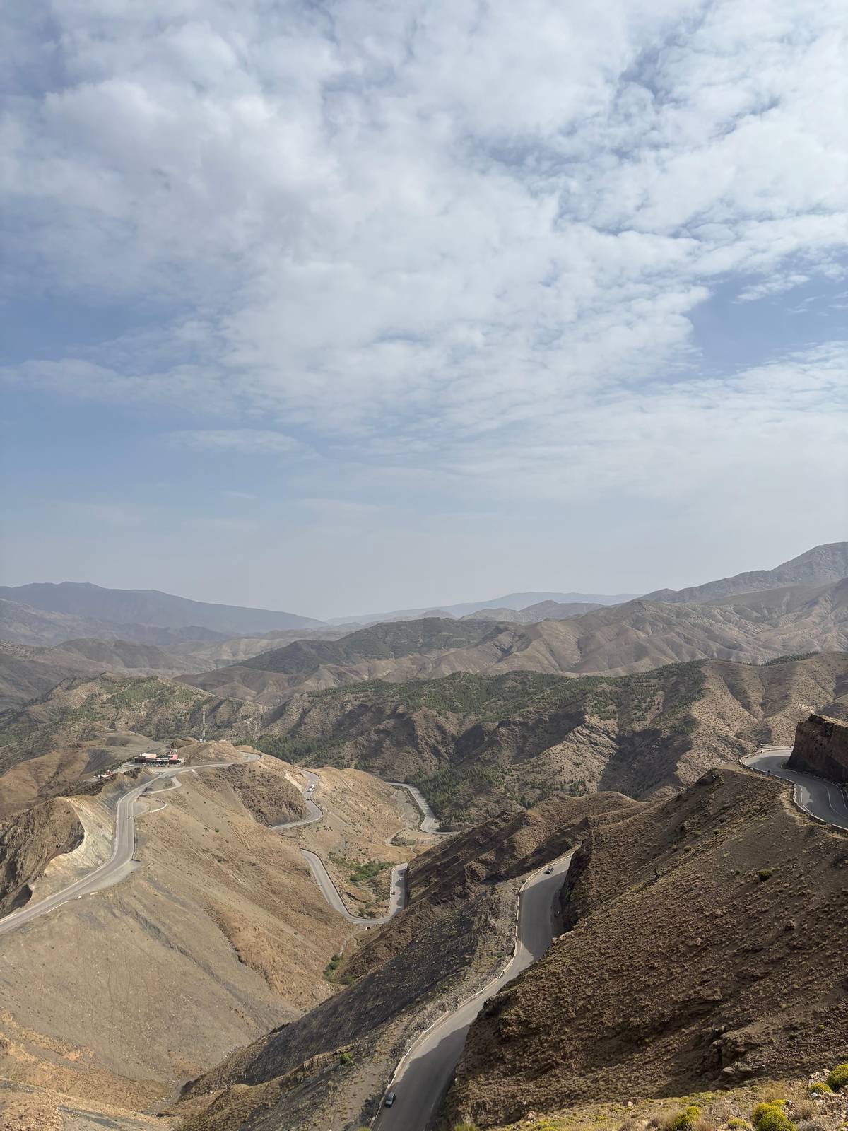
After Ait Ben Haddou and Ouarzazate, the road to the desert turns east and runs along the southern foot of the High Atlas. Here the rivers that drain the mountains have cut deep valleys into the rock, and the desert tours follow them on the way to the dunes. The two names you will hear are the Dades, with its long valley and its gorges, and the Todra, with the narrow gorge above the town of Tinghir.
Britannica describes the Dades as a river that rises in the Atlas Mountains and flows south for 350 km through wild gorges to the Sahara, where it joins the Draa.1 It is also one of the two headstreams of the Draa, Morocco's longest river.34 The Dades River, and especially its gorges, is a popular tourist destination.2
This is also kasbah country. UNESCO counts the valleys of the Dra, the Todgha, the Dades and the Souss among the places where the earthen building types of southern Morocco can be seen from the 17th century.5 Watch for fortified houses and villages of red earth along the river, with green fields and palms at their feet and bare mountains behind.
Going east
West end
A 20-minute break on one tour.
Night stop
Where one tour spends its first night.
Side valley
Named as a stop on another round trip.
Further east
A 40-minute visit on one tour.
Above Tinghir
20 minutes at the river, then lunch.
Beyond
The road continues east to the dunes.
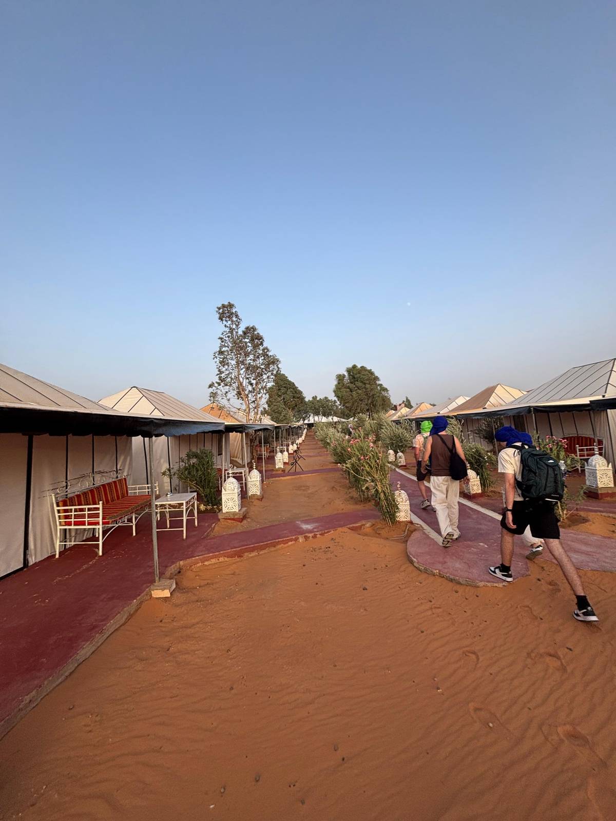
The Dades valley is where some desert tours spend their first night. The private-tent tour stops 20 minutes at Kalaat M'Gouna and then sleeps at Boumalne Dades, and the food safari puts its first night in a hotel in the Kelaa M'Gouna area. The tour this site recommends includes a hotel night on the road without naming the town.
Another round trip names Kalaat M'Gouna, Boumalne Dades and the Dades Gorges among its stops, with Tinejdad further east on the way to the desert. Coming the other way, a Fes to Marrakech tour lists 30 minutes at Boumalne Dades and then 1.5 hours by van to Ouarzazate.
The lower slopes of the High Atlas hold well-watered valleys where Amazigh people farm small irrigated fields, and south of the mountains nearly all settlement is in oases.67 That is the landscape you drive through here: a ribbon of green along the water, villages on the edge of it, and dry stone hills on both sides.
Minutes per stop
Stop by stop
| Stop | Listed time | Tour |
|---|---|---|
| Kalaat M'Gouna | 20 minutes | Private-tent tour |
| Boumalne Dades | Overnight | Private-tent tour |
| Tinghir | 40 minutes | Private-tent tour |
| Todra River | 20 minutes | Private-tent tour |
| Todra River | 1 hour | Luxury camp from Fes |
| Boumalne Dades | 30 minutes | Luxury camp from Fes |
Times as each GetYourGuide listing publishes them; the tour this site recommends lists no stop times.
Three tours through the valleys
Our pickHotel night on the road
 Clear stop times
Tinghir and the Todra River
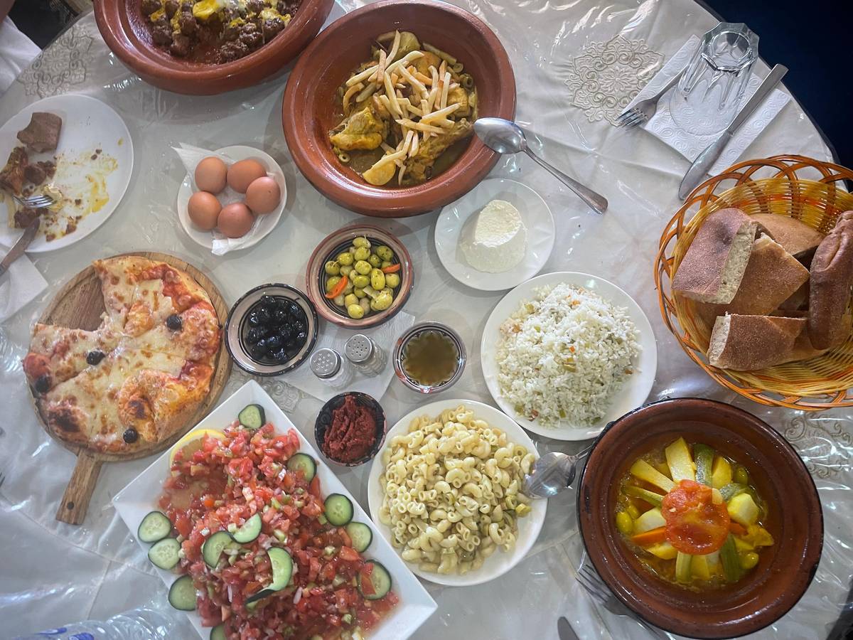 Longest gorge stop
The valleys from the east
Decision helper
Pick the tour that matches your interest
20 minutes at the Todra River and 40 in Tinghir.
It lists 1 hour at the Todra River on the way west.
Our recommended tour lists a private group as available.
Its route lists Boumalne Dades and the Dades Gorges.
It rises in the Atlas Mountains and flows south for 220 miles (350 km) through wild gorges to the Sahara, where it merges into the Drâa River.
Further east, the Todra river leaves the mountains through a narrow gorge just north of Tinghir. The walls close in so tightly that the road and the shallow river share the floor of the canyon, and the rock rises straight up on both sides in shades of red and orange. Even in summer, the bottom of the gorge stays in shade for much of the day.
Tours give it a short stop. The private-tent tour lists a 40-minute visit to Tinghir and 20 minutes at the Todra River, followed by a 1-hour restaurant stop. A Fes to Marrakech tour lists 1 hour at the Todra River, reached after 40 minutes and then 2 hours by van from the desert.
A short stop is enough to walk into the narrowest part, cross the river on stepping stones and look up at the walls. If you want to hike further up the gorge, you would need a night in the area on your own schedule rather than a tour stop.
Map
First the whole road with Fes and Zagora, then the two gorges at Boumalne and Tinghir, then the oasis towns and the sand sea of Erg Chebbi.
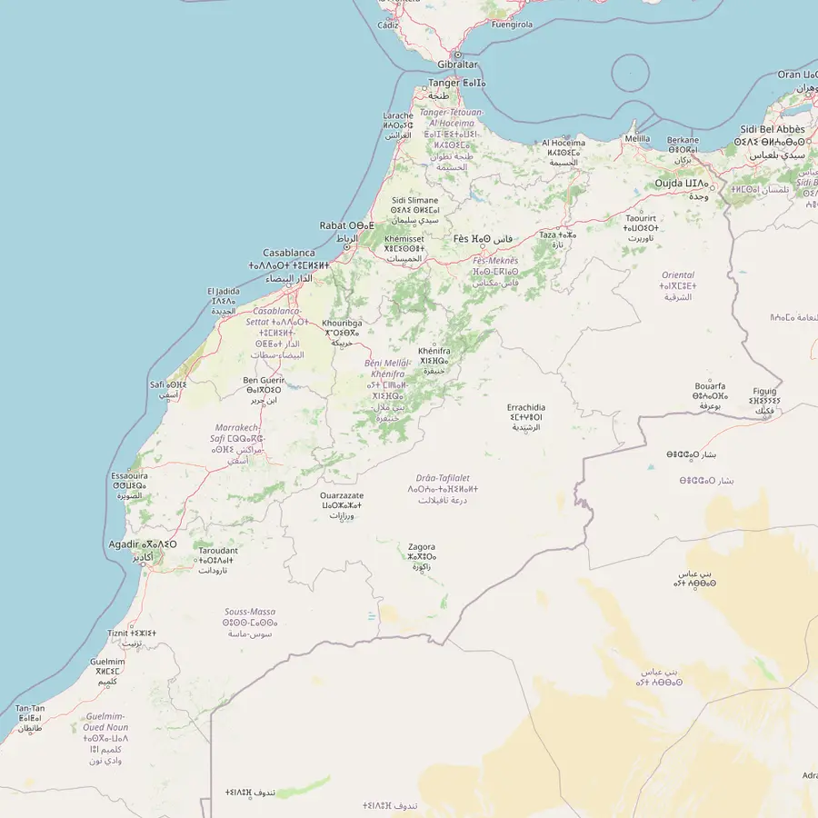 1Marrakech2Tizi n'Tichka3Ait Ben Haddou4Ouarzazate5Boumalne Dades6Tinghir7Errachidia8Merzouga9Zagora10Fes11Midelt
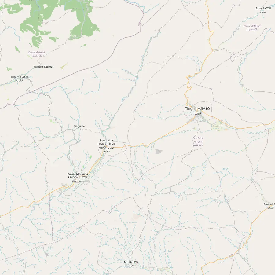 5Boumalne Dades6Tinghir12Kalaat M'Gouna13Dades Gorges14Todra Gorge
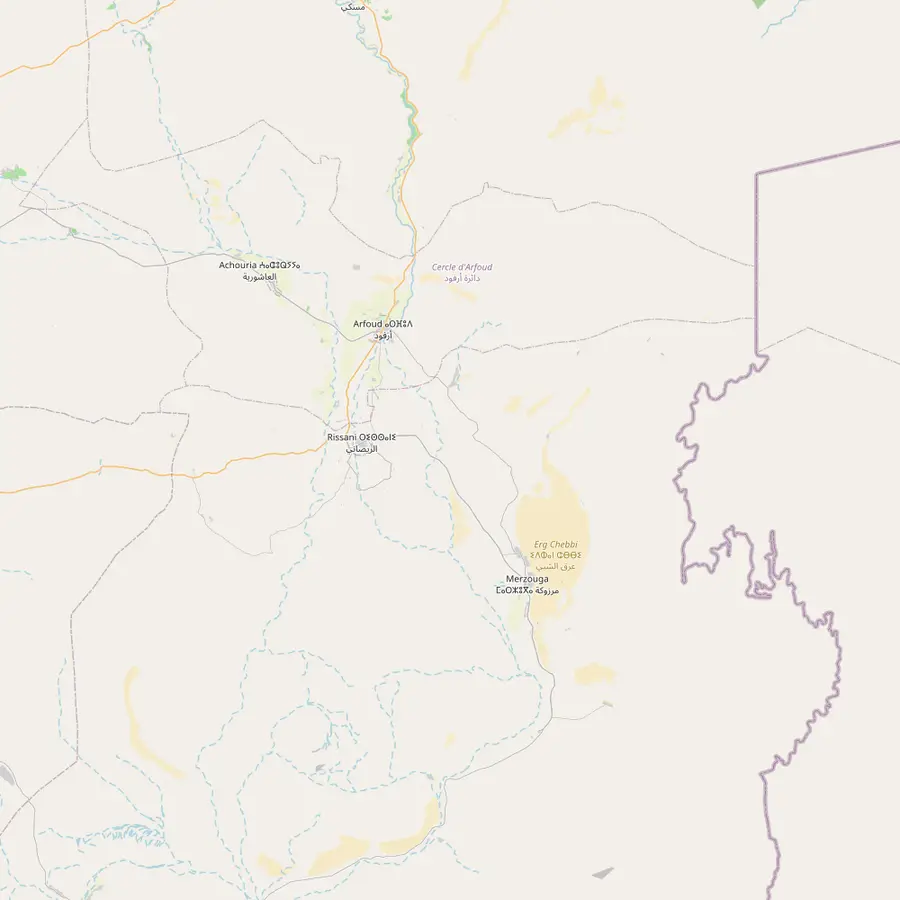 8Merzouga15Erfoud16Rissani17Erg Chebbi
Start and end of the round trip; its medina, founded in 1070-72, has been a World Heritage site since 1985.89
In Google Maps ↗The High Atlas pass on the road to Ouarzazate, 2,267 m high.1011
In Google Maps ↗An earthen ksar on the southern slopes of the High Atlas, a World Heritage site since 1987.1213
In Google Maps ↗An oasis and road junction on the Saharan side of the High Atlas, near where its river joins the Draa.1411
In Google Maps ↗The private-tent tour from Marrakech stops here for its first night; the Dades runs 350 km south to the Draa.1
In Google Maps ↗The private-tent tour lists 40 minutes in Tinghir and 20 minutes at the Todra River.
In Google Maps ↗The WMO climate station behind this site's month-by-month figures, at 1,037 m.15
In Google Maps ↗The village beside the dunes, where a large aquifer feeds palm groves and fields.16
In Google Maps ↗An oasis on the Draa and the goal of the 2-day desert trips from Marrakech.17
In Google Maps ↗Where the one-way desert tours end; its medina has been a World Heritage site since 1981.18
In Google Maps ↗The lunch stop on the last day of two one-way tours to Fes.
In Google Maps ↗A 20-minute break on the private-tent tour; the food-included safari sleeps in this area on night one.
In Google Maps ↗The gorges of the Dades River, a popular tourist destination.2
In Google Maps ↗The Fes to Marrakech luxury-camp tour lists 1 hour at the Todra River.
In Google Maps ↗One of the fortified villages of Tafilalt, the largest Saharan oasis of Morocco.1920
In Google Maps ↗A Tafilalt village; the oasis's old capital Sijilmassa was founded in 757 CE.2021
In Google Maps ↗Star dunes, some over 100 m high, that formed more than 13,000 years ago.2223
In Google Maps ↗Checklist
Cost calculator
Enter your group size to compare four desert tours via the valleys.
Total from$274
pp from $137
Check availabilityfree cancellationThe sum multiplies each trip's GetYourGuide from-price by the size of your party and converts it at the day's ECB rate; checkout shows the final figure.
Video
The video starts loading once you tap play.
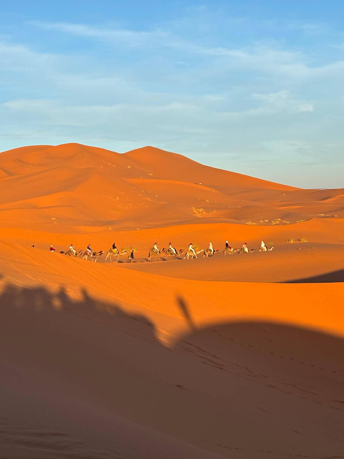
Between the gorges, the road runs through a wide, dry plain with the High Atlas to the north. The private-tent tour stops at Kalaat M'Gouna on the way into the valley. Further on, the palm groves of the oasis towns appear as dark green bands against the brown land.
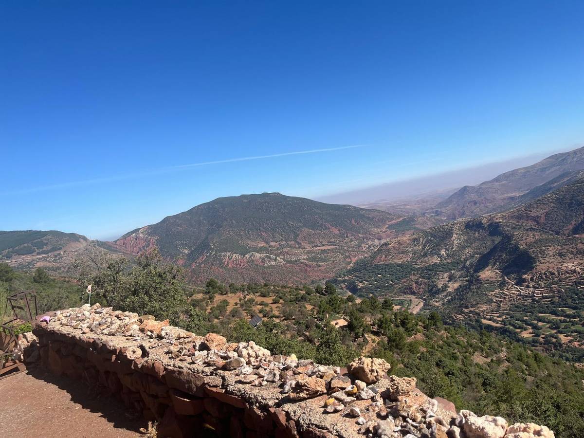
The southern flanks of the High Atlas face the hot, dry winds of the Sahara and are generally bare of vegetation.24 That bareness is part of the view: layered rock, scree slopes and flat-topped hills that change colour through the day, with the green only where the water runs.
Ask your driver-guide to name the villages as you pass. The road keeps to the valleys, and the stops are short, so the best way to take in this stretch is from the window, with a camera ready for the moments when a kasbah or a palm grove comes into view.
The gorges lie at the foot of the mountains, between the climate of Ouarzazate and that of the oasis towns further east. At Ouarzazate the average daily high is 17.3 °C in January and 38.8 °C in July.25 At Errachidia, the climate station nearest the dunes, it is 15.9 °C in January and 39.5 °C in July.26
Rain is rare but it matters here. In the northern Sahara most precipitation falls from December through March, with a second maximum of thunderstorms in August, and such storms can cause flash floods.27 The Todra flows through the narrow floor of its gorge; heed your guide if the water is high.
In summer, visit the gorges in the shade of the walls and drink often; in winter, bring a warm layer for the morning, as the valley nights are cold. The Ouarzazate normals put the average January low at 1.8 °C.28
The gorges are hard light. At midday the sun lands on one wall while the other stays in deep shade, and a phone camera struggles with the contrast. Expose for the bright rock and let the shade go dark, or turn your back to the sun and photograph the lit wall with the river in front of it. A person standing at the foot of the cliff gives the only sense of scale the picture will have.
In the valleys, the best pictures are often taken from the vehicle window or a roadside pull-in: an earthen kasbah against the bare mountains, a line of palms along the river, a village on a ridge. Ask your driver-guide early which viewpoints the tour uses, so you have your camera ready instead of in your bag when the van stops.
Be thoughtful with people. Ask before you photograph anyone in the villages or at the gorge, and accept a no with good grace. One tour operator on this road asks its guests not to take close pictures of people's faces without their permission. Keep a little cash in your pocket for drinks and small purchases along the way.
If the gorges are a reason for your trip rather than a stop on the way, look at the tour records before you book. The listings that give stop times differ: one gives Tinghir 40 minutes and the Todra River 20, another gives the river a full hour. The tour this site recommends does not list stop times.
A private group gives you the most freedom to linger. The tour we recommend lists a private group as available, which lets you ask for a longer stop at the gorge or a short walk in the valley, within what the driving day allows.
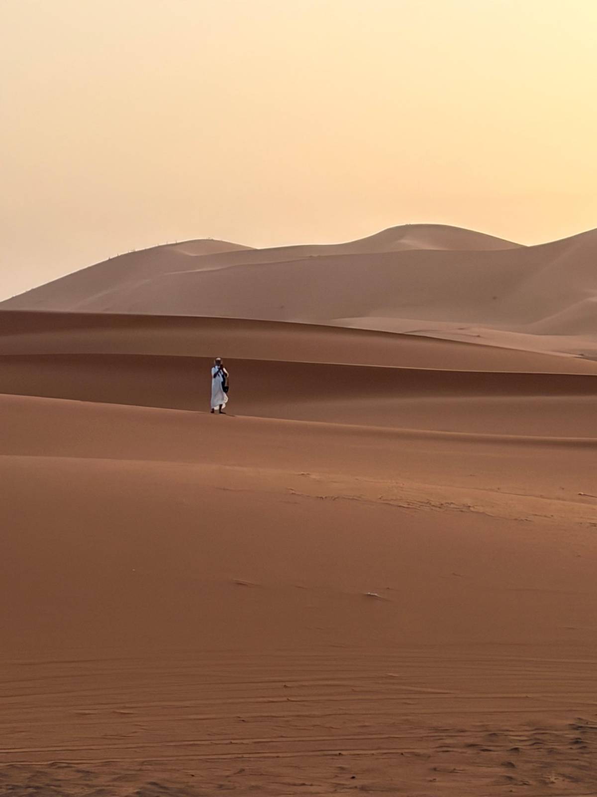
Remember that the road on day 2 continues all the way to the dunes for sunset, so every extra hour in the gorges is an hour less in the light at Erg Chebbi. On a 3-day tour the balance usually works best with a short gorge stop and a full evening in the desert.
Your desert trip
Pick a date, get collected at your riad, and cancel free up to 24 hours before.
20 minutes to 1 hour. One tour lists 20 minutes at the Todra River, another 1 hour.
About 350 km. It rises in the Atlas and flows south through wild gorges to the Sahara, where it joins the Draa.1
In the Dades area on two tours. One tour sleeps at Boumalne Dades, another in the Kelaa M'Gouna area.
Yes, on the road east. One 3-day tour lists a 40-minute visit to Tinghir before Merzouga.
Near freezing at night. Ouarzazate, at the western end of the valleys, averages a January low of 1.8 °C; bring a warm layer for early starts.28
Only a short walk. Listed stops at the river are 20 minutes to 1 hour; longer hikes need your own time there.
Sources